
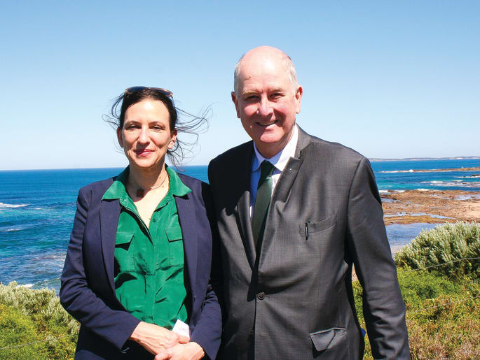
Member for Bass Jordan Crugnale with Minister for Planning Richard Wynne, when Bass Coast was declared a Distinctive Area and Landscape in October 2019.
Phillip Island will be “protected from over-development”, with town boundaries locked in under a proposed new state government planning policy.
However, it is proposed San Remo’s existing boundary be expanded to include farming zone land further along Phillip Island Road.
The draft Bass Coast Statement of Planning Policy (SPP) – currently out for community feedback until April 29 – will be a disappointment to some developers, including those who have suggested expanding town boundaries to include the airport land next to Cape Woolamai, as well as a mooted Newhaven West subdivision near Churchill Island.
Cowes, too, will have its boundaries protected, including from any future development at the Cowes golf club land.
Furthermore, the SPP proposes a series of beefed-up landscape planning controls to protect six Bass Coast areas that have been declared state or regionally significant, including the coast and hinterland between Cape Woolamai and Ventnor, as well as the Rhyll Inlet, and areas north of Cowes-Rhyll Road to Newhaven (see separate story).
The policy is the most significant for our area in living memory.
It comes after increasing concern the island is turning into a suburb and losing its rural charm, the backbone of the tourist economy, as well as debate around how densely packed and multi-storied our towns should become.
In 2019 the state government declared Bass Coast a Distinctive Area and Landscapes (DAL) to guide future land use, with the SPP the latest and last part of the DAL, which will, after consultation, be enshrined in law (see separate story).
“In recent years, (Bass Coast’s) distinctive attributes have been increasingly pressured by overuse, overdevelopment and climate change impacts,” the SPP states. “These pressures are threatening to change the declared area, and they are a primary reason for the declaration.”
Member for Bass Jordan Crugnale said the government wanted to protect the distinctive character of Bass Coast – its natural assets, Bunurong cultural heritage and historic heritage – from over-development.
“There are development pressures and I want to make sure we can plan for the area’s future in a way that protects its distinctive character and landscapes,” Ms Crugnale said. “The DAL project is about setting the long-term settlement boundaries, protecting both the space between them and the surrounding natural environment.”
She said once implemented, the policy would provide permanent protection from encroaching suburban growth.
Cowes boundaries
There has been speculation the long-awaited SPP would not include defined town boundaries.
However, the draft provides clear guidance on where future housing development can and can’t take place, with no expansion on any current island town boundary and green areas between towns protected.
“These boundaries set limits to the outward urban expansion of settlements, protecting the declared area’s significant landscapes, environment … and other natural resources,” states the SPP. “They can only be changed through a legislative process, providing communities with long-term certainty.”
Once enshrined in law, the SPP can be amended at any time by the state government, but any changes would need to go through both houses of Parliament.
The SPP states growth in Cowes and Silverleaves “will be accommodated by developing vacant residential land within the proposed protected settlement boundary, which will contain Cowes’ growth and provide long-term protection for its environs”.
The SPP has removed an area of farming zone land on the eastern edge near Silverleaves from the existing settlement boundary, which includes the Phillip Island Golf Club.
“Development within Cowes is confined to the town centre and its immediate surrounds,” it states. “Silverleaves retains and enhances its distinctive, highly vegetated, coastal bush character in an informal setting.”

Image: Cowes proposed town boundaries have removed an area of farming zone land on the eastern edge near Silverleaves from the existing settlement boundary, which includes the Phillip Island Golf Club.
Other areas
It is proposed San Remo’s existing boundary be expanded to include an area of farming zone land aligned with 425 Phillip Island Road.
In San Remo battleaxe blocks or “cut and fill is minimised, and built form respects the existing coastal outlook”.
At Ventnor, the emphasis is on a rural vibe: “development reflects the existing neighbourhood character with simple, one- and two-storey coastal dwellings, spaciously accommodated on generously sized lots with low site coverage”.
Anything built in Rhyll’s town boundaries will see “medium-density development limited to” the town centre.
Development at Smiths Beach, Sunderland Bay and Surf Beach “retains a sense of space”, which is contrary to many battleaxe developments that have popped up in recent years. “Built form is designed with generous, informal setbacks and is limited to two storeys,” says the SPP of these hamlets.
At Sunset Strip it is proposed the area on the western edge zoned low density residential be included within the hamlet’s boundary but “this is not considered to impact on the significant attributes surrounding Sunset Strip”.
A protected settlement boundary is proposed for Cape Woolamai, which does not include the old airport land, with limited growth accommodated within the proposed boundary.
At Newhaven an area of farming zone land on the western edge has been removed from the existing settlement boundary. The emphasis is on larger lots, while buildings should not be sited on “coastal land subject to rising sea levels”.
And at Grantville, an area of farming zone land on the southern edge of the town has been removed from the existing settlement boundary.
Wonthaggi is the only town not to have a defined boundary in the SPP and the Advertiser understands this is to allow for more work to define the industrial zone.

Image: San Remo’s proposed town boundaries.
To see how the proposed town boundaries may affect your property, go to the interactive mapping tool (mapshare.vic.gov.au/vicplan/).
To find out more about the DAL or to make a submission, go to engage.vic.gov.au/project/distinctive-areas-and-landscapes-program/page/bass-coast


