We’re a black spot drowning location
Bass Coast Shire is considered one of the state’s key blackspot drowning locations, along with Mornington Peninsula and Surf Coast.

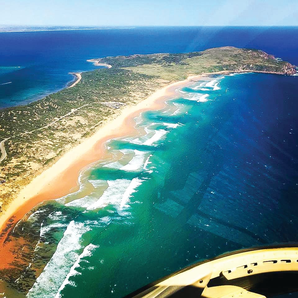
Please take care on our beaches
Bass Coast Shire is considered one of the state’s key blackspot drowning locations, along with Mornington Peninsula and Surf Coast.
A coastal risk assessment of the shire including 48 beaches and 70 km of coastline was conducted in 2019.
The report delivered to Bass Coast Shire Council, Phillip Island Nature Parks and Parks Victoria recommended key improvements on our beaches including standardising beach signage, establishing a monitoring process and ongoing reporting on the activities taken to lessen the risks.
The report also recommended reporting on the outcomes of these improvements.
Bass Coast Shire Council was not able to provide details of the roll out of the recommendations from the risk assessment. However a council spokesperson said “Council Beach Safety Signage is consistent with the signage standards”.
The spokesperson confirmed council had recently reviewed and improved signage in Kilcunda, “taking into consideration feedback provided in the Bass Coast Shire Coastal Risk Assessment report”; and said land managers of the different coastal areas (which includes Phillip Island Nature Parks and Parks Victoria) are responsible for their own beach safety signage.
At last week’s Council meeting, councillors were asked when the Black Spot Assessment Report would be released to the public.
The official council response said the report was a high level one offering recommendations, information and activities to increase survival and Life Saving Victoria was the lead agency.
The implication was, as the lead agency and author of the report, a decision to release it to the public would have to come from Life Saving Victoria.
However, council stressed the importance of people planning their trip to the beach and urged them to check the weather and conditions and use the beachsafe.org.au website to find patrolled beaches.
“Read safety signs and always go swimming with a friend,” they advised.
The report
The Bass Coast Shire Coastal Risk Assessment report was delivered last September to all coastal land managers, including Bass Coast Shire Council, Parks Victoria, and Phillip Island Nature Parks.
It was based on a series of beach observations, which were conducted in June 2018 by Life Saving Victoria’s Risk and Research Services team, led by Risk and Spatial Analysis Specialist Rob Andronaco.
The observations were conducted at 48 Bass Coast beaches and included looking at local beach hazards as well as the current controls in place, including aquatic safety signage, lifesaving services, zoning and activity controls.
The report for land managers recommended key improvements to mitigate beach hazards, based on expert opinions and international best practice, including:
- Standardising beach safety signage across the region to meet Australian Water safety signs and beach safety standard
- Implementing a process for continuous monitoring and review of hazards, to ensure that new hazards are detected and managed and linked to modification or maintenance of existing action plans
- Undertaking ongoing reporting to communicate the risk mitigation activities and outcomes, providing information to inform decision-making, improve risk management activities and facilitate interaction with stakeholders
At the time, Mr Andronaco said international research showed taking a strategic and consistent approach is more likely to be effective in drowning prevention.
“An important part of conducting this risk assessment also included consultation with a range of primary and secondary stakeholders in the region, including Phillip Island Nature Parks, Bass Coast Shire Council and Parks Victoria,” Mr Andronaco said.
“Life Saving Victoria will continue to encourage and help facilitate land managers in working together to implement new risk control measures.”
Heavy toll
The Risk Assessment was prompted by the high number of drownings over the 2017/18 summer.
Surf Life Saving Victoria reported between December 1, 2017 and 28 February 2018, 23 people drowned, the highest toll in 20 years. The majority of these were at beaches, with a 28 per cent rise in coastal drownings.
The 2018 National Coastal Safety Survey stated rips were the number one hazard on our coastlines. Yet, Surf Life Saving Australia’s research shows that three in four people can’t spot a rip.
On Phillip Island’s surf beaches, the rips are particularly hazardous. Since 2016, six people have drowned at beaches in the area.
This led to calls for improved warning signs, including multilingual signage, to warn visitors of the dangerous conditions.
Signage on Phillip Island’s beaches does not include other languages, although some councils across Australia provide signs or produce online or video content explaining water safety and beach risks in multiple languages.
Multilingual resources on rips and beach safety are also available on the Life Saving Australia website and at beachsafe.org.au.
According to a report released in 2017, you’re 37 per cent more likely to drown in Bass Coast than in other places across Victoria, which identified the area as a beach drowning blackspot.
Tragically two drownings have already occurred in Bass Coast this summer, including a 24-year-old woman from Melton who drowned at Smiths Beach on November 29.
The Bass Coast coastline is around 200 kilometres in length and makes up 8.12 per cent of the total Victorian coast, making it the fourth-longest Local Government Area directly abutting the Victorian coastline. Bass Coast Shire ranks the second-highest Local Government Area in Victoria for fatal drowning events.
Professional lifeguards are on duty daily at Woolamai, Cowes and Smiths Beach from now until early February, supplemented by volunteer patrols on the weekends.
Always swim between the red and yellow flags, at a patrolled beach.


